
The entire trail was pretty narrow but luckily it wasn’t too crowded.

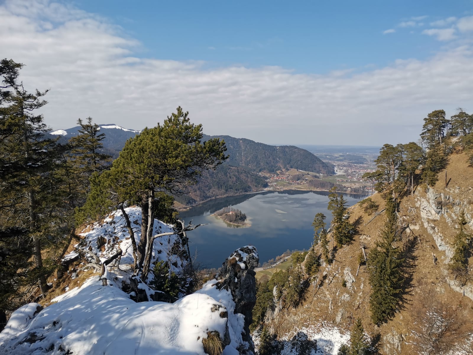
These two ridges, the one you can see in the photo and the one from which I took this photo, are called the “Leitner Nasen”, or Leitner Noses. I took the title image of the Schliersee from the Südliche (southern) Leitner Nase, which you can see in this picture.

Interesting twisted pine trees grow on the rocky edge of the Nördliche Leitner Nase.

The scenery truly seemed like a winter wonderland.

I loved the portion of the hike through the heavily wooded areas!

The last leg of hike, beyond the mountain and forest, approached the town of Schliersee, which you can see off to the right.

The town of Schliersee is a stereotypical Bavarian village. Here is the square with the “Maibaum,” or Maypole. You have probably seen pictures or videos of people dancing with ribbons around them during folk festivals like Oktoberfest.
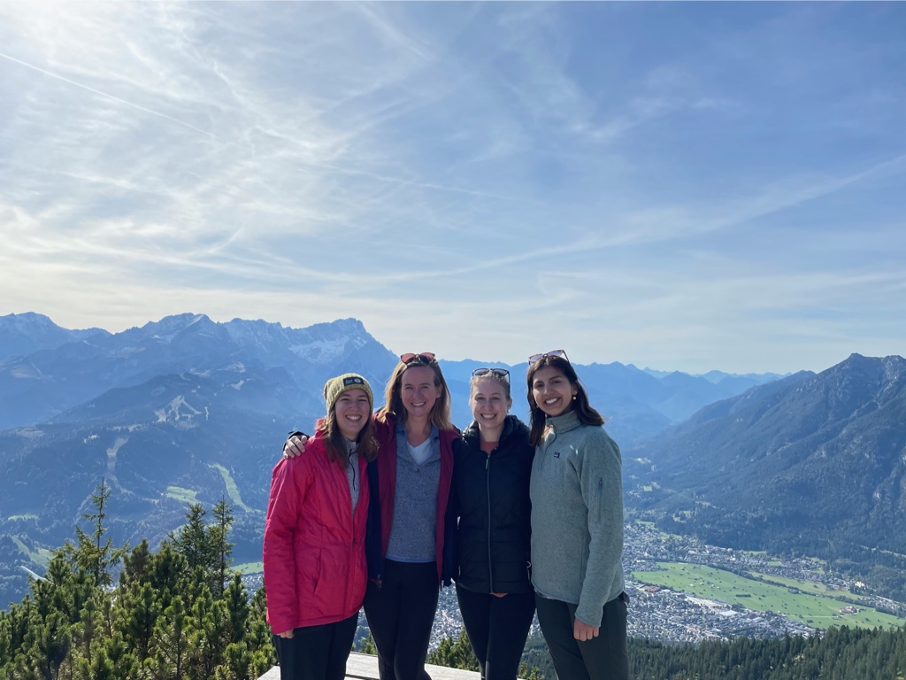
We left first thing in the morning and caught an hour-long train south to the Fischhausen-Neuhaus train station near Schliersee, or Schlier Lake. We intended to hike the Brecherspitze mountain, but upon seeing the shadowy snow and ice covered slopes, we decided we prefered to take a different trail that appeared to be sunnier! We made it to the peak and picnicked in the sun before we began our slightly more treacherous descent down the icy and shaded side of the mountain. This link doesn’t show our exact path, but it highlights the most notable parts of our journey. We ended our hike on the opposite side of the lake in the town also named Schliersee, where we caught the train back to Munich.

These pictures are gorgeous! What a beautiful hike.